Hello everyone. This week I have a post that is a little closer to home...
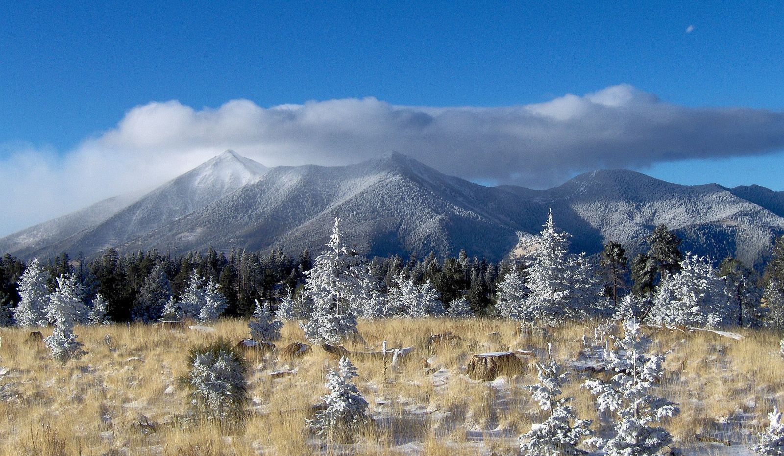
So, Flagstaff. Such a nice mountain city situated right in the midst of a potentially active volcanic field (SFVF). The most recent activity in the SFVF was the eruption of Sunset Crater less than a thousand years ago. The majority of the volcanic field consists of cinder cones.
 |
| The SFVF. Can you find Flagstaff? |
Thus, what would happen if a cinder cone popped up and started spewing lava out near Sunset Crater?? (This post will detail the eruption. Next week will detail monitoring and safety precautions.)
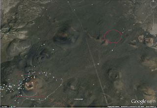
Here is the a screenshot of the Sunset Crater area from Google Earth. Sunset Crater is in the rectangle. The circle will be where my eruption is going to occur. (I'm not actually saying this is going to happen. This is me just theorizing.)
 |
| We are facing North in this picture. Zooming in. Keep yourself focused on the star to help orient you. |
Yay! We know where we are now. And the volcano just started erupting!!!!!
So the eruption is set for today and I will be using the Ash3d website (https://vsc-ash.wr.usgs.gov/user/session.php) to model my fake eruption. Thank you to my adviser Dr. Greg Vaughan for allowing me to use his Ash3d account.
The volcano erupts for hmmm how about 24 hours. The ash plume height will be 9.447 km high and 0.003 km^3 material will be erupted (the default settings on Ash3d). Below I will have a gif showing where the ash plume will go and a picture showing where ash will be deposited over 48 hours.
The ash cloud seems to generally be headed south, then starts to curl northeast. It heads further south into Arizona before blowing over into New Mexico, Colorado, and Texas.
 |
| Deposit Thickness |
 |
| Zoomed in version of above. |
See you next week when we discuss hazards and affected areas!
Rachel


Could you please provide a general explanation for the behavior of the ash cloud? Also, it would be helpful to have a frame of reference for the "Deposit Thickness" contour plot. How does the geographical extent of the plot compare to that of the views from Google earth? My last question relates to the assumptions you made in your model? Are the height of the ash plume and the volume of material that is ejected considered to be "average" for a volcanic eruption? Or "average" for something that could occur in the SFVF?
ReplyDeleteI will address all your questions in an edit to my post, except for the last one (see my response on Mrs. Vaughan's comment).
DeleteInteresting!How did you come up with your numbers for eruption information?
ReplyDeleteThe amount of material erupted is just the default settings. I decided on the eruption for 24 hours just because it would have a greater affect on the surrounding area. I wanted to see what would happen over 48 hours because that is when the effect of the volcano's would be the greatest.
DeleteWhat a neat program! Very useful. So do you know if the parameters you gave for the eruption are reasonable/comparative to these style eruptions in the past?
ReplyDeleteThe eruption parameters are based off Mt. St. Helens eruption (at least that's what I remember Dr. Greg Vaughan saying). The amount erupted really is not that much, but like St. Helens the ash cloud would have more of an effect.
DeleteI was in Great Falls MT when Mt Saint Helens erupted and we got ash all the way in MT. Pretty impressive amount of material.
ReplyDeleteWe could get that much ash if another strata volcano like the Peaks erupted here.
DeleteWhat about Flagstaff? Would we die? Would we have an apocalypse landscape to live in? Would we be buried alive? And more importantly, would we still have Twinkies?
ReplyDeleteThats for this week Liam dear.
Delete