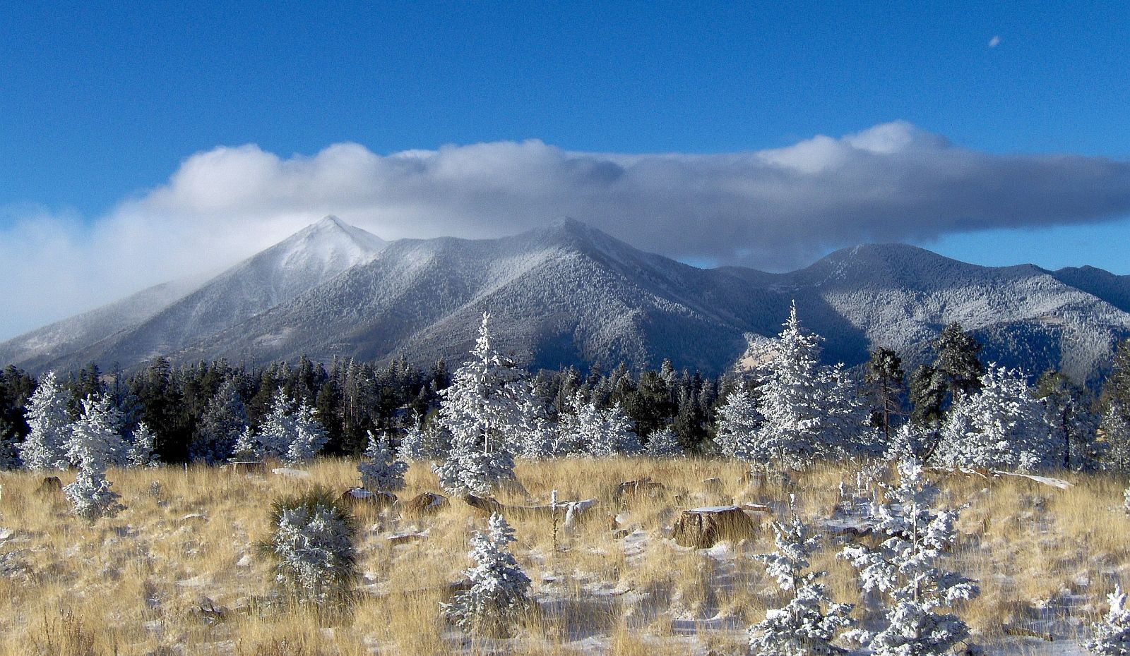
This last week I went out with a local geologist on a field trip to visit SP Crater and its friends. Ken Walters was my guide on our adventure. I picked up some cool rocks that are good examples of tephra.
We drove north on Highway 89 past Wupatki, then turned left on a unmarked dirt road. We passed many Babbitt cows on our way to SP's neighboring cinder cone pictured below.
This cinder cone* is older than SP because of all the vegetation covering its slopes. It is interesting to note the small cinder dome in the center of the volcano showing that even after the cone stopped spewing lava into the air, there was still activity. It also seems the the side of the cinder cone was blown out at some point as that side of the volcano is lower than the rest.
Looking at a map of the SFVF helps to visualize the location of these volcanoes. If you can see on the map, there is a fault labeled "Doney Park Fault." This fault can be easily seen from both SP Crater and the cinder cone discussed above.
Our nest adventure was up the side of SP Crater or **** Pot Crater because it looks a lot like a toliet.
Formidable right? Although only 800 feet high, it was a steep hike with loose cinders so you were constantly trying to not slid backwards. The volcano is about 71,000 years old. Below you can see some good examples of flow patterns. Apparently quarters are the standard tool for gauging size, but since I didn't have any I utilized a normal chapstick. Notice the curves and seeming rough texture. This was caused by the lava being squeezed out of the ground, much like the shape of frosting coming out of differing tubes. Also shown is the middle of the volcano. Like its neighbor, SP mostly erupted lava and rocks that fell back down around it, thus creating the cinder cone we see today.
SP mostly spewed out basalt, but towards the end of its life the magma burst through the bottom, creating a black lava flow across the ground. The lava flow was quite sharp and treacherous, but ion some places one could see how the lava fit together before it got weathered and broken apart.
Rachel signed out.
*The name of that cinder cone is Colton Crater.


Glad you got to go out in the field! Sunset Crater is a tough hike. If the hot spot theory is correct, shouldn't there be heat escaping somehow? If not magma, then at least gases, or maybe the ground swelling? Seems like this would be easy to monitor/determine. Earth still has some puzzles for us!
ReplyDeleteYes, if the hot spot theory was correct, we would assume that. But, because it isn't releasing heat and gases like Yellowstone there are the other theories about SFVF.
DeleteAwesome! It seems like an interesting expedition and a, um, well, interesting name for a volcano XD. Does investigating this volcano spark any revelations? How does this compare to the volcanoes in Hawaii? And remind me again, what is tephra?
ReplyDeleteSP Crater is not like the Hawaiian volcanoes I have discussed because it is a cinder cone with less viscious magma. It would be similar to events in Hawaii that involve fountaining lava. If we were to monitor it, it would likely use seismometers and tiltmeters as basic monitoring tools.
DeleteTephra (as USGS defines it) is the fragments of rock produced when magma or rock explodes out of a volcano.
You show a photo of the Doney Park Fault with the purple line indicating the location of the fault. What are the features that one looks for in determining the location of a fault? In some of the area your line traces through, it wasn't obvious to me what those features might be.
ReplyDeleteThere are divots in each of those hills. In the picture it looks like there is two hills where these divots are. You might also think that those are ledges in the hill; however, that is the fault displaying itself above the ground. All the features I attempted to describe here should be beneath that purple line I drew in.
Delete