Welcome back. I do hope that you haven't had any unfortunate run ins with active volcanoes yet.
As I have buried myself in reviewing relevant literature, I've found the main techniques volcanologists use to monitor active and dormant volcanoes. I am going to share these with you, but you are more than welcome to space out for the next five paragraphs.
Volcanologists use a variety of instruments to monitor volcanoes that are either ground based or space based (satellites).
Most ground based instruments measure ground deformation and seismic activity. Ground deformation is normally measured by two different instruments: a tiltmeter or a Electronic Distance Measurement (EDM). A tiltmeter is a device similar to a carpenter's level that uses a small container filled with a conducting fluid and a bubble to measure the change in slope of the ground. EDMs measure the extension and contraction of the ground using benchmarks that are placed on a volcano to send and receive electromagnetic signals. Both techniques measure the movement of magma under the Earth’s surface.
Seismic waves are measured with, yes, seismometers.From the recorded seismic waves, volcanologists are able to determine the structure and plumbing system of the volcano.
The introduction of satellites into the scientific research is beneficial to the monitoring of volcanoes because it has allowed volcanologists to remotely study volcanoes. Much like ground based techniques, synthetic aperture radar interferometry (InSAR) measures the displacement of a volcano’s surface in terms of magma movement beneath the ground. Satellites also provide photographs of the Earth, which allows scientists to spot ash plumes and changes to the topography of volcanoes. They use radar too as it provides images of the Earth even when it is dark or there is heavy cloud cover.
By analyzing data, volcanologists can attempt to predict eruptions, but they must have a proper amount of baseline data on volcano. When volcanologists have this background knowledge, they are able to discern between the normal workings of a volcano and eruptive behaviour.
However, volcanoes remain mysterious and mischievous because they often give no warning signs that they are about to erupt, or they display eruptive signs and never erupt. This is why it is crucial to make the public aware of the hazards volcanoes pose, even if they are dormant for the time being.
I also receive updates on active volcanoes. Today, Kilauea (Hawaii), Shishaldin, and Cleveland (Alaska) are all displaying signs of activity. If you would like to receive these daily updates, sign up at: https://volcanoes.usgs.gov/vns/register.php
Have a gneiss day,
Rachel
"have a gneiss day" - hah! Let the geology jokes begin......
ReplyDeleteWell I decided my tone needed to be more sarcastic and it is a joke because I am not a huge fan of puns... Just wait though it will get better
ReplyDeleteHi Rachel,
ReplyDeleteIf there is no baseline data, what does that mean for predictability? Are we doomed?
You can see it as Doomsday if you want hahaha. Volcanologists and scientists worldwide are working to get some sort of monitoring system in place for each volcano that is considered active. As you can imagine, it is expensive, time-consuming, and difficult (especially in developing countries because they are worried about surviving each day, not the nearby volcanoes).
DeleteHowever, thanks to the introduction of satellites, it is easier for scientists to collect data on volcanoes. Volcanologists might not have the baseline data that they want, but they are able to apply general knowledge about eruptive behaviour because of data from well-monitored volcanoes. It may seem we are doomed, but satellites allow volcanologists to detect eruptions. They measure the deformation of the ground and provide pictures of the surface of the volcano, which both can show indications of an eruption. Seismic stations can also be used to detect newly active volcanoes.
And yes, predictability will be problematic without baseline data. But with the use of satellites and seismic stations, we will be more aware when volcanoes begin waking up.
Still, we are always hoping that volcanoes will exhibit warning signs. It is like other natural disasters. You hope an earthquake will be detected before it hits, but that is not always the case.
What instruments do you think you'll be using on your final analysis of the SFVF?
ReplyDeleteCan you clarify the question? What will my report looked like or what will I suggest Flagstaff use to mintor the SFVF?
DeleteYou mentioned in your first post that you're using the techniques you examined to monitor the SFVF; will you be using those techniques/instruments, or will you be using data to suggest uses for the instruments?
DeleteI will not be using the actual instruments, but I will suggest what instruments Flagstaff should use based on my investigations of other volcanoes that are monitored.
DeleteFabulous puns! But aside from the puns, this looks like it's going to be really cool. What are some challenges that you've faced recently, and how do you intend to apply the technology you talked about to volcanoes in Flagstaff?
ReplyDeleteI still do not understand much of the terminology used by volcanologists. Based on my review of the effectiveness(based on the type of volcano) of the listed technologies, I will suggest what I think will work best for Flagstaff.
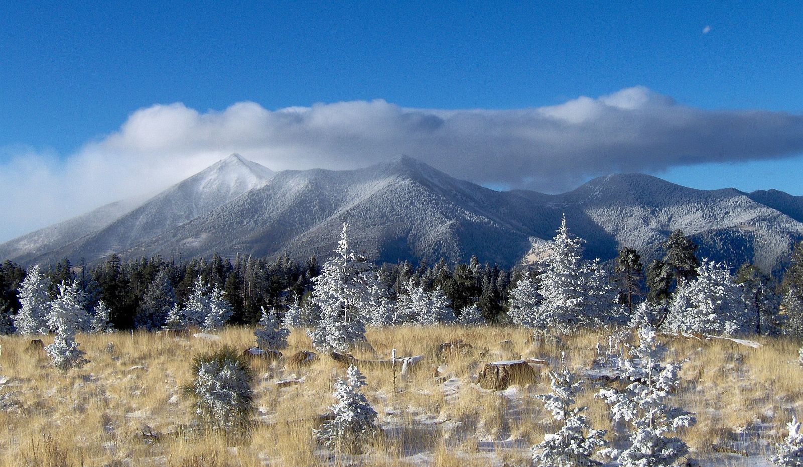
DeleteWill you be discussing the costs of ground-based vs. satellite-based sensing in a future post? Are there any instruments currently monitoring the San Francisco Peaks volcanic area?
ReplyDeleteI will talk more about the costs when I apply my findings to Flagstaff. There are only some seismic stations in the state that could pick up on volcanic activity. Although, if there was a huge eruption, satellites could then be used to help monitor. This is why there was a meeting in Flagstaff in 2012. It addressed the issues of renewed volcanism for the entire Southwest, especially since there is relatively no monitoring or safety precautions in place.
Delete